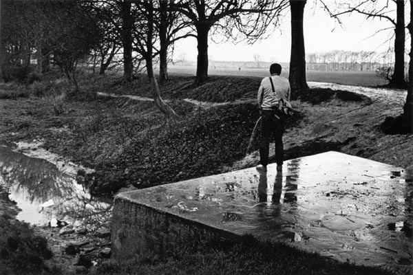
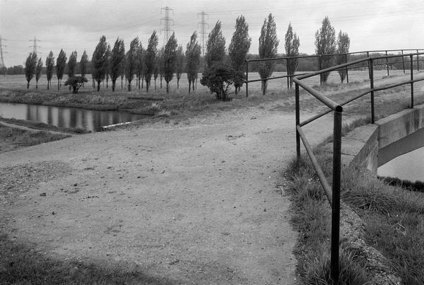
33d56: The Source of the RIver Lea at Leagrave near
Luton
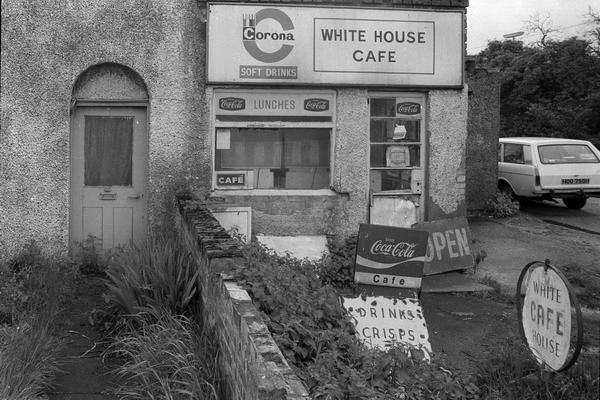
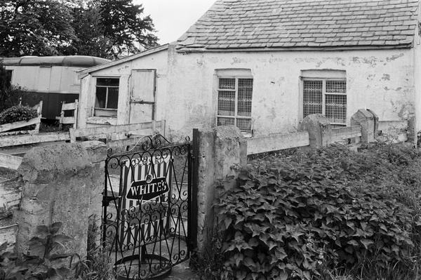
34z51: White House Cafe
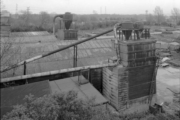
34z52
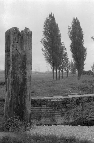
35a22
35a32
35a42: Riverside Cafe
End of pictures
In the 1980s I took little interest in the Lea outside the Greater London area, although I did walk up a few miles to the north to Cheshunt and Broxbourne, and take a trip to Leagrave, usually cited as the source of the river and a few points in between.
In the early 2000s, I walked most of the way from the source to the Thames, although in places there is no access to the river. I also cycled the length of the navigation (from Hertford to Bow) taking pictures.
Outside of London, the navigation passes through some largely rural areas, with lakes from gravel extraction.
In earlier years large areas around the Lea were dug for clay for brick-making. One of the world's first monorail systems was constructed near Cheshunt in 1821 to carry the bricks to barges on the Lea - and it was horse-drawn. Like many things in the Lea Valley no trace of it remains.
The old gunpowder works are still there at Waltham Abbey, but when I was taking pictures in the 1980s they were still a closely guarded state secret - now they are a tourist attraction.
I haven't yet scanned many of the pictures from this section - many are simply landscape images of no particular interest.
1980-92 Black & White index
1980s: colour
2000 on: colour
All photographs on this site are
© 1980-2010 Peter Marshall.
Pictures are available for commercial use - please email me, for terms.
Permission is normally granted for suitable non-commercial use without cost - please email the above address. I also welcome comments and questions about the work.
33d56: The Source of the RIver Lea at Leagrave near
Luton
34z51: White House Cafe
34z52
35a22
35a32
35a42: Riverside Cafe
End of pictures